Walking Network Plan - Aspley, Community

Share Walking Network Plan - Aspley, Community on Facebook Share Walking Network Plan - Aspley, Community on Twitter Share Walking Network Plan - Aspley, Community on Linkedin Email Walking Network Plan - Aspley, Community link

This community engagement is now closed. Thank you to everyone who provided feedback.
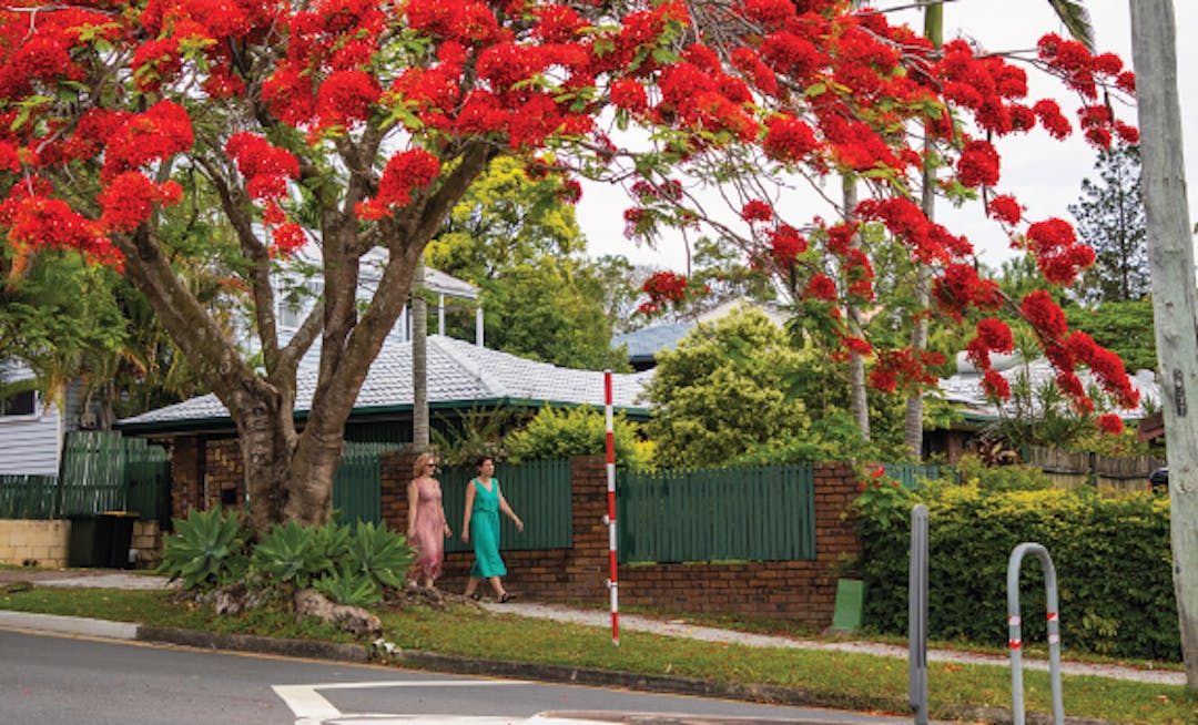
two people walking down a street under a large tree with red flowers

Council is preparing Walking Network Plans (WNP) for a number of locations across Brisbane with funding support from the Queensland Government’s Walking Grants (WLGG) program.

The Walking Network Plans will identify how everyday destinations can be better connected by comfortable, direct, safe and accessible routes to inform planning and be supported by future works programs to enhance walkability in the area. Council sought your feedback as community representatives to gain a well-rounded understanding of walking access, safety and amenity around the Aspley Hypermarket and bus station.

The feedback received will help Council understand the experience of walking around these precincts, and will inform Council’s plans for future infrastructure investment.

Have your say

Council invited you to have your say on the Aspley Walking Network Plan by:

  • completing the feedback survey
  • dropping a pin on the interactive map

Feedback for the Walking Network Plan closed at 11:59pm, 3 November 2024. 


Share Walking Network Plan - Aspley on Facebook Share Walking Network Plan - Aspley on Twitter Share Walking Network Plan - Aspley on Linkedin Email Walking Network Plan - Aspley link

Walking Network Plan - Aspley

18 days

Instructions

Council is keen to understand where you think walking improvement opportunities are needed around the Aspley Hypermarket and bus station. 

Please use the drop a pin tool to indicated locations and the type of improvements you think would improve local residents experience and enjoyment walking in the area. 

You can provide your input anywhere in the green study area and can drop multiple pins.

To drop a pin and provide a comment on the map:

  • select the 'add a pin' icon on the left panel
  • choose the relevant pin and drag to a location on the map within the highlighted area
  • add your comment to the prompt question above, then submit (it's a good idea to check your response before submitting in case your browser has auto-filled any fields)
  • if you want to change your comment or move your pin, select your pin on the map, then select 'Edit'.

Map Key

  • Blue line: Primary Route
  • Green line: Secondary Route
  • Orange box: Walking Network Plan Aspley - Project Area

Terms and conditions: Contributions will be visible to the public. Posts that do not comply with the terms of use and moderation guidelines for this site may be removed.

CLOSED: This map consultation has concluded.